Revolutionizing Data Collection and Management
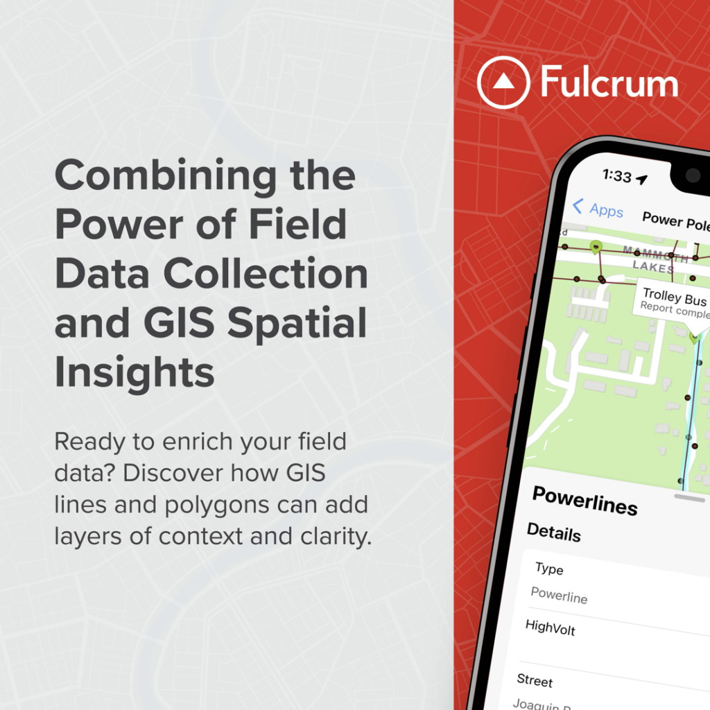
Fulcrum stands unique among data collection platforms by delivering in-app lines and polygons, alleviating pain points by offering a seamless, integrated solution that promises to revolutionize the way field teams approach data collection and management.
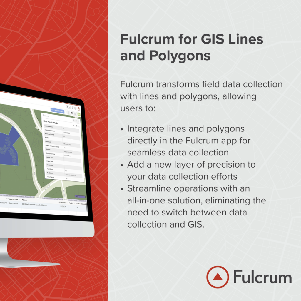
This addition means that field teams can now access, create, change, and share lines and polygons directly from the app, without the need to dive into the complexities of a full-fledged GIS. It’s a development that streamlines operations, making it easier for both field teams and their leaders to visualize spatial data in a whole new light.
Fulcrum Delivers In-App Lines and Polygons
Before the integration of lines and polygons in Fulcrum, teams had to rely on separate platforms to create and modify lines and polygons, which not only fragmented the workflow but also increased the likelihood of data inconsistencies and errors. The inability to directly access, create, and share these crucial data elements from the app hindered real-time collaboration.
► This addition means that field teams can now access, create, change, and share lines and polygons directly from the app, without the need to delve into the complexities of a full-fledged GIS. It’s a development that streamlines operations, making it easier for both field teams and their leaders to visualize spatial data in a whole new light.

Lines in Action
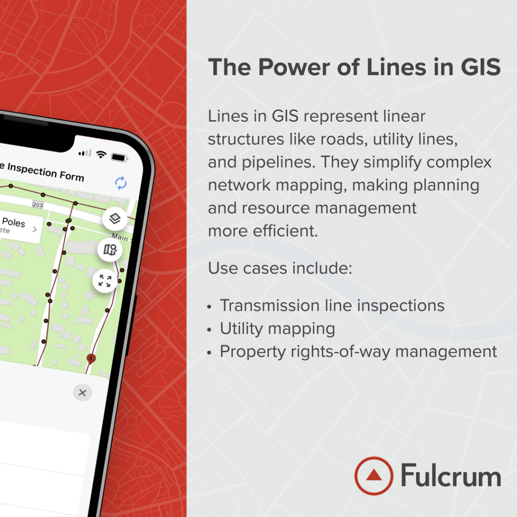
Lines help us define straight or curved paths to organize data related to the various geographical or manmade features those paths represent.
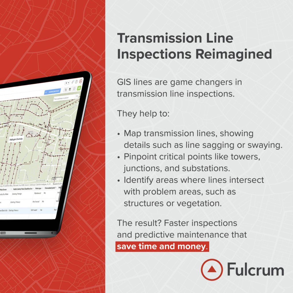
Lines can be utilized to meticulously map out the extensive network of water pipelines that crisscross urban and rural landscapes. This detailed mapping allows for precise monitoring of the pipeline’s condition, helping to identify areas that are aging or in need of repair. It can facilitate proactive maintenance, where teams can pinpoint exact sections of the pipeline that require attention, preventing larger disruptions and ensuring a consistent water supply.
The Power of Polygons
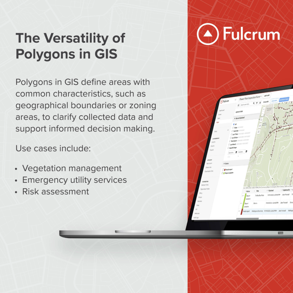
GIS polygons are closed shapes used to represent areas that have well-defined boundaries. These boundaries can either be defined by natural formations such as rivers or drainage fields, or man-made structures like city blocks, neighborhoods, zoning districts, and so on. A polygon is formed by connecting a series of lines in a closed loop, creating a shape that can encompass a particular feature or area.
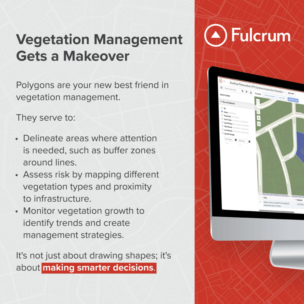
In vegetation management, polygons can be used to clearly mark areas where vegetation growth poses a risk to power lines. Teams can identify and monitor these areas closely, planning timely interventions to trim overgrown trees or remove vegetation that threatens to disrupt power supply. This proactive approach can prevent costly outages and enhance the safety of the surrounding communities.
Why contact NEWCOM?
As a strategic technology partner, the NEWCOM team is trusted and trained on the value of Fulcrum’s enterprise technology platform to help deliver a digital transformation for your company. We can build, maintain, and enhance infrastructure to match the technology with the software application that best fits your design. Our goal is to help you optimize safety and quality inspections, protect property, and secure assets with Fulcrum.

More about Fulcrum
Fulcrum’s vision is to reduce the time, cost, and risk associated with data collection, workflow automation, and analytics by transforming the way our customers perform mobile business processes. Our SaaS platform allows non-developers to rapidly build and deploy apps — in minutes rather than days — without code. The result is rapid time to value for customers, high-fidelity data collection and reporting, and a data-driven approach to process automation and performance optimization for mobile teams. Our customers rely on Fulcrum to ensure safety and quality, stay compliant, protect property and secure assets, maintain and enhance existing infrastructure, and keep new infrastructure projects on-time and on-budget. For more information, please visit fulcrumapp.com.


